Mapmaking with Geo Nua
Geo Nua produces ready-to-use global base maps that work at any scale and for any purpose — from a single hiking map to an atlas covering a service network. Each page can present a different area or level of detail while the map remains clear and consistent.
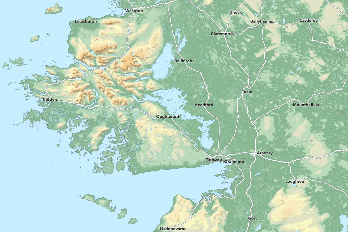
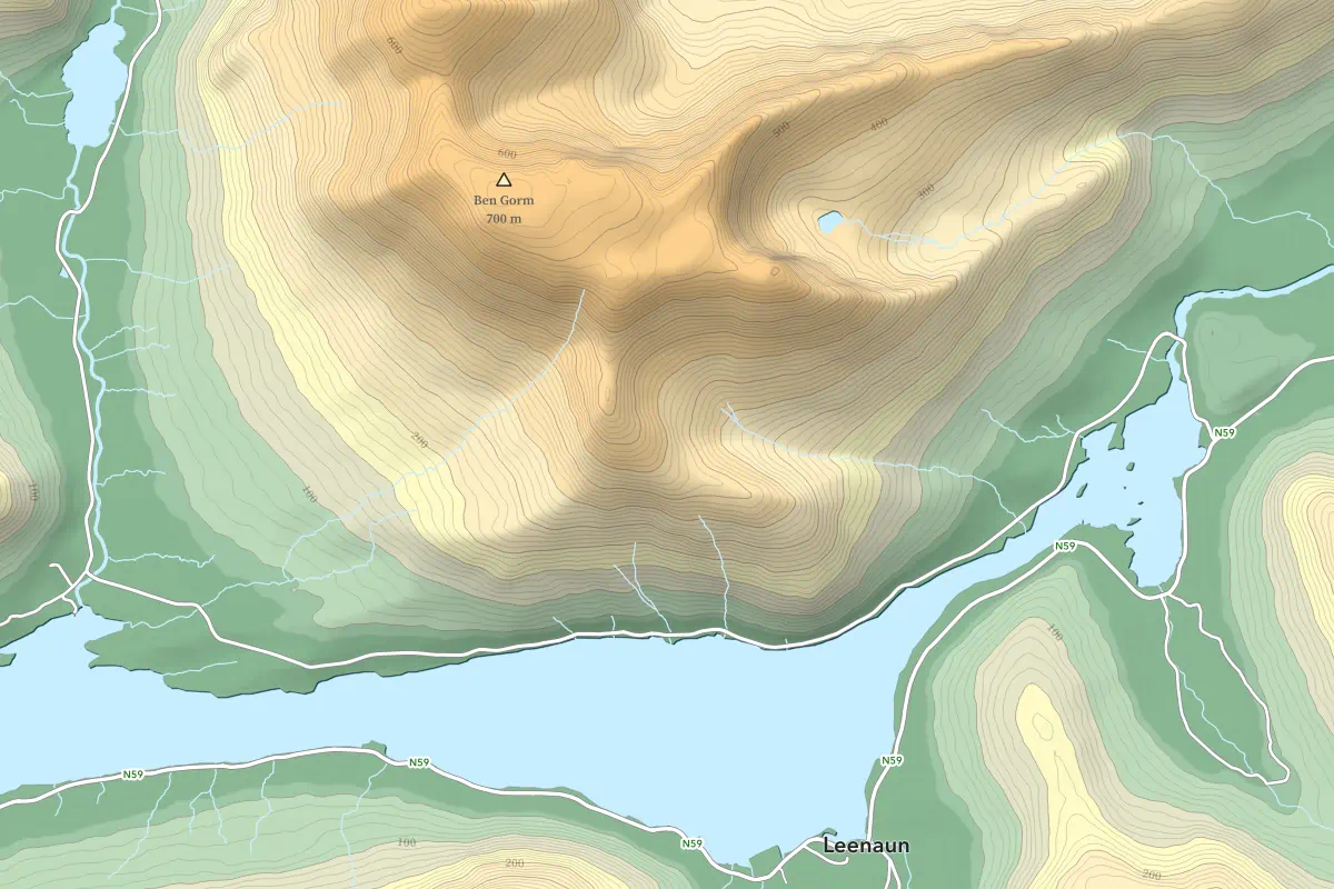
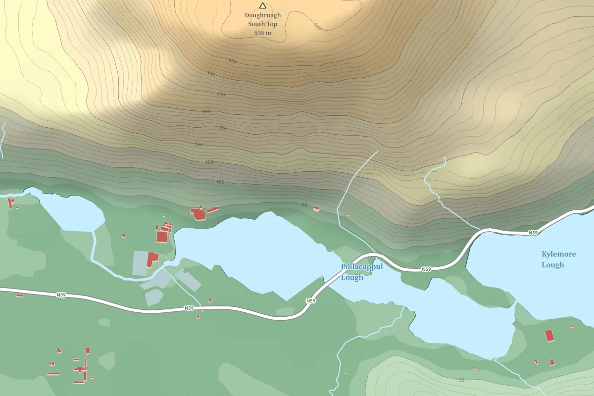
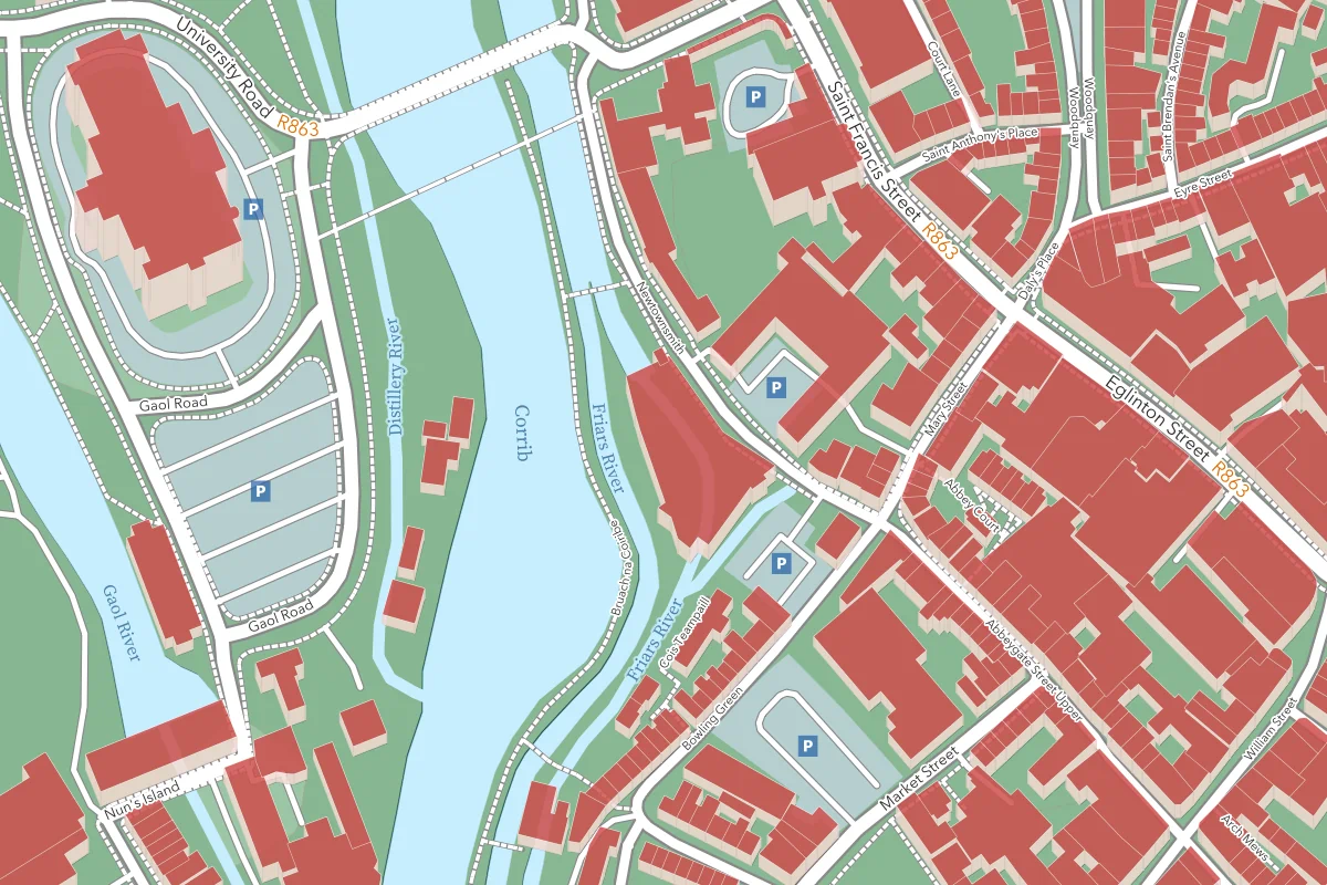
The four scales displayed here of our new topographic map demonstrate what Geo Nua can do for you. It combines elevation levels, contour lines, hill shading, 2.5D buildings, and water features with shadow edges. All generated from license-free datasets (OpenStreetMap and SRTM). The map remains readable from the big picture down to individual streets and buildings. This is the first of a growing set of maps, with future versions optimized for road use and outdoor activities, as well as high-contrast readability.
Our maps are fully adaptable. We can add or remove features, adjust labelling, and modify styles — or even replace the underlying sources should you wish to improve on the sometimes sketchy coverage of OpenStreetMap and SRTM with your own high-quality or licensed data.