Map Systems by Geo Nua
Map Rotation
Historical maps sometimes have a different orientation, with North not always at the top.
Our map rotation tools let you adjust the map to any angle.
Use the
 compass button to toggle between the modern North-up view and the original orientation of the historical map
— or to quickly reset the map to North-up from any rotation. For full control,
press SHIFT while using the mouse wheel to rotate freely.
This keeps labels readable and exploration intuitive, even on maps from the 1600s.
compass button to toggle between the modern North-up view and the original orientation of the historical map
— or to quickly reset the map to North-up from any rotation. For full control,
press SHIFT while using the mouse wheel to rotate freely.
This keeps labels readable and exploration intuitive, even on maps from the 1600s.
Location Searches
The
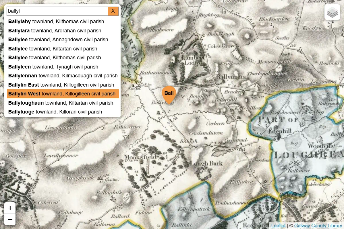
 location search makes it easy to find places by name and explore their history.
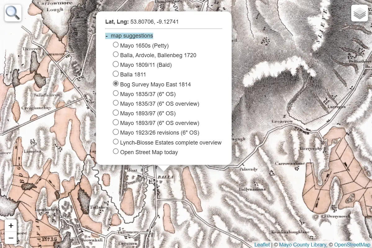
Selecting a result focuses the map and adds an orange marker with related map suggestions and data links.
Because each result is stored in the page address, searches can be bookmarked or shared
— making discoveries easy to revisit and share with others.
location search makes it easy to find places by name and explore their history.
Selecting a result focuses the map and adds an orange marker with related map suggestions and data links.
Because each result is stored in the page address, searches can be bookmarked or shared
— making discoveries easy to revisit and share with others.
Interactive Markers
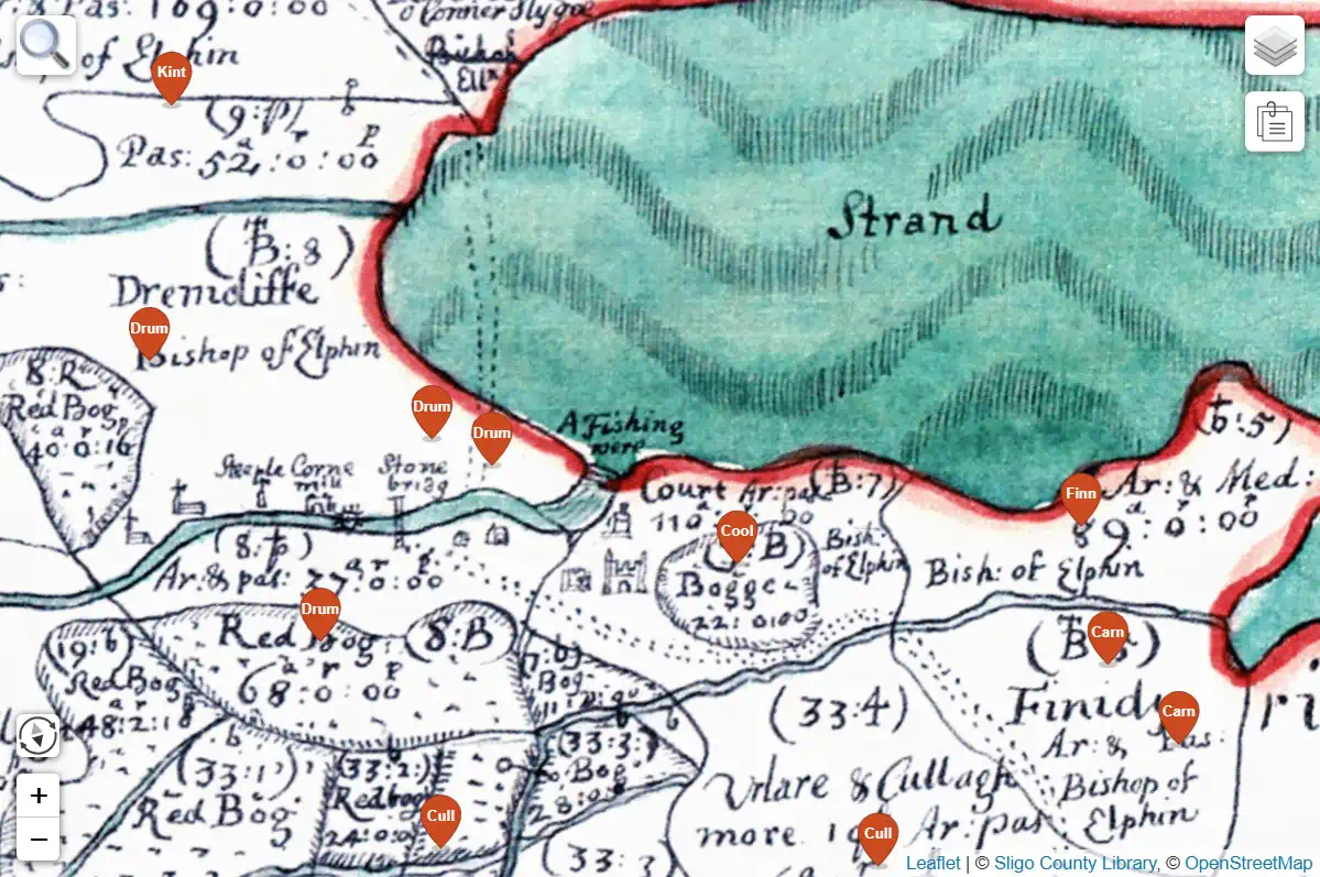
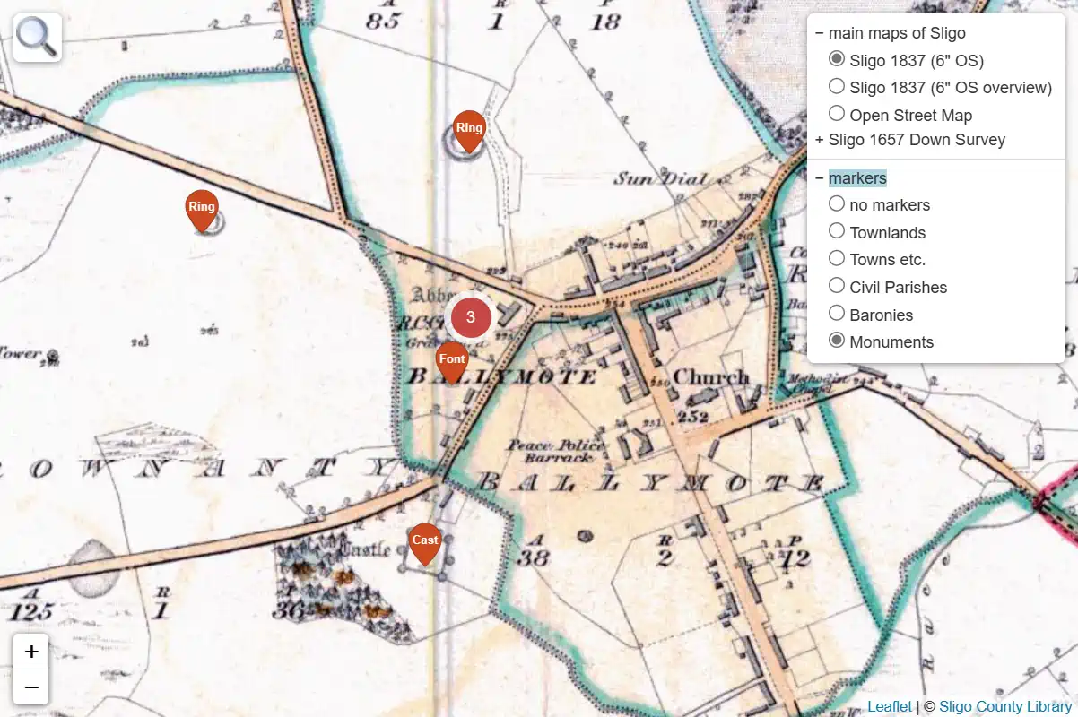
 Marker layers add curated points of interest to the map, such as administrative areas or heritage sites.
When markers are close together, they cluster automatically,
showing a counter with the number of grouped markers.
Selecting a marker opens related historical maps and data links,
making it easy to explore connected locations and themes.
Marker layers add curated points of interest to the map, such as administrative areas or heritage sites.
When markers are close together, they cluster automatically,
showing a counter with the number of grouped markers.
Selecting a marker opens related historical maps and data links,
making it easy to explore connected locations and themes.
Map Attachments
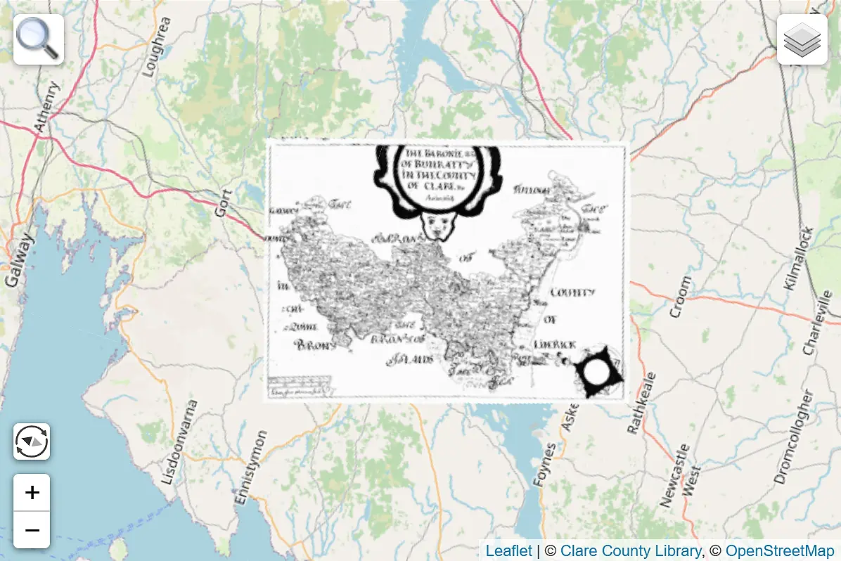
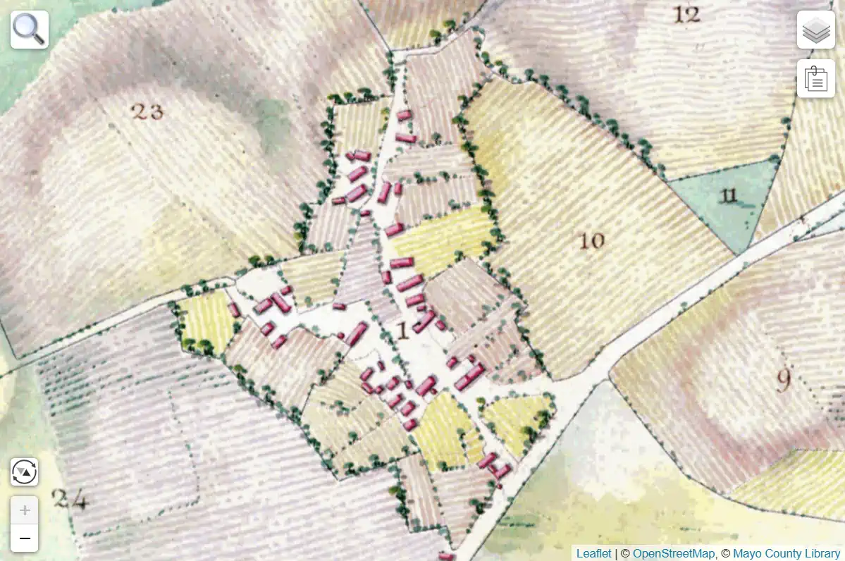
 Map Attachments provide access to supporting materials that belong with a historical map
— such as reference tables listing tenants and soil types,
or full original scans that reveal the map image is a certified copy created centuries later.
Attachments open as full overlays and can be explored just like maps,
with zooming and panning for close inspection.
Map Attachments provide access to supporting materials that belong with a historical map
— such as reference tables listing tenants and soil types,
or full original scans that reveal the map image is a certified copy created centuries later.
Attachments open as full overlays and can be explored just like maps,
with zooming and panning for close inspection.

Help Pages
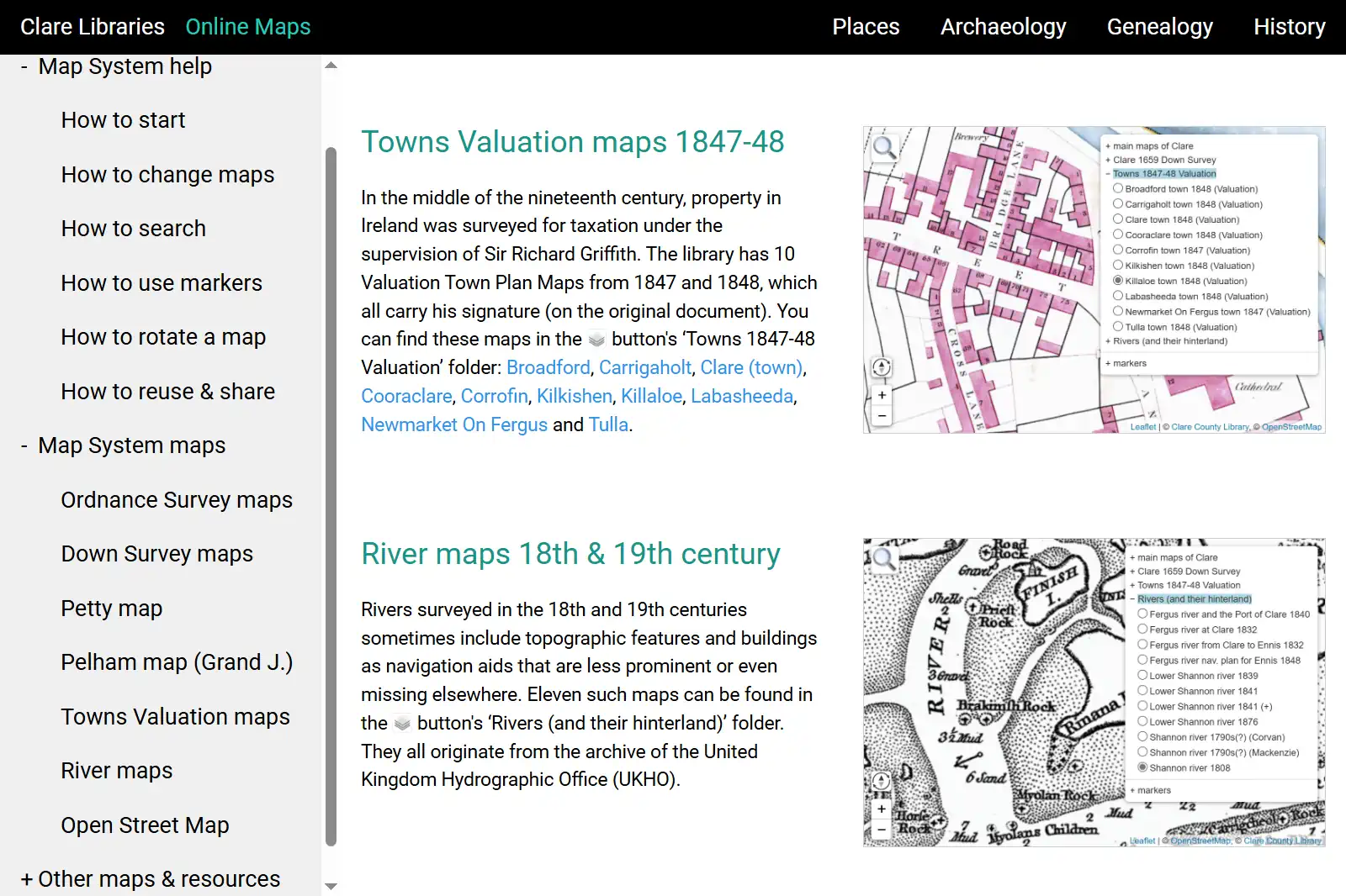
We offer professionally designed, custom-tailored start and help pages for your map system. Following modern responsive design principles, they adapt smoothly to any screen or window size, just like the map system itself. Heavily illustrated with interactive screenshots, the pages make exploring the maps intuitive and engaging — novices and experts alike can quickly find what they’re looking for and jump straight to the relevant map view. Each page covers the main system features and provides background information about the maps on offer.
Have a look at the pages of Clare Libraries, Galway County Library and Sligo County Library.
Map Image Processing
We transform scanned maps into online tile layers, ready for use in your system. Each image is carefully enhanced, georeferenced, and optimized for size to display at multiple zoom levels. The resulting layers integrate seamlessly with modern maps like OpenStreetMap.